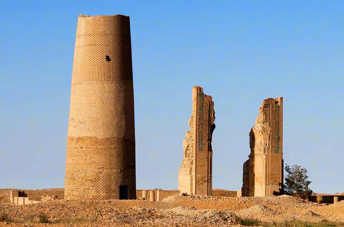
Dehistan, also written as Dekhistan, is a historic area in Balkan region in south-western Turkmenistan. Its distinctive landscape includes medieval minarets and the remains of Misrian on an open plain. A visit is especially suited to travellers interested in archaeology, brick architecture and the former trading routes of the eastern Caspian region.
Where is Dehistan in Turkmenistan?
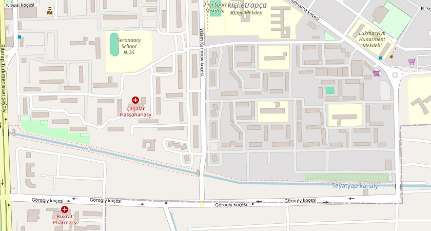
Dehistan lies on the Misrian plain in the Balkan region of south-western Turkmenistan, inland from the Caspian Sea. The Misrian city ruins on OpenStreetMap are at approximately 38.2705° N, 54.6246° E. The Mashad-ata necropolis is a separate stop about seven kilometres north of the ruins.
Dehistan, Misrian and Mashad: understanding the names
Historical accounts use Dehistan for both the wider region and its principal urban centre. Misrian refers to the city site, while Mashad is associated with the nearby necropolis. These places belong to the landscape of an oasis once supported by farming, irrigation and trade.
The remains are spread across separate locations. When arranging an excursion, ask for the city site and the necropolis to be identified individually in the programme, with time for each agreed stop.
What to see at the city site
Two medieval minarets. Look for the bands of Kufic lettering around the older, northern tower. One inscription names its builder. The southern minaret belonged to the mosque of Muhammad Khwarazmshah in the early thirteenth century.
The medieval mosque remains. Surviving portal piers and architectural decoration offer a sense of the scale and craftsmanship of the former mosque. A guide can help distinguish the parts still standing from the building’s reconstructed appearance in plans and illustrations.
The wider archaeological landscape. Traces of the city’s defences and settlement provide context for the isolated monuments. The interest is in understanding how this urban centre worked, rather than expecting a complete town of preserved streets and houses.
Adding Mashad-ata to the visit
The necropolis lies around seven kilometres from the city site. Its mosque is known for a carved mihrab, or prayer niche. Read our guide to Mashad-ata for the monument’s history and the naming confusion associated with Shir-Kabir. Interior access should be confirmed for the planned visit.
How to plan a trip to Dehistan
Agree your starting point, transport, approach route and overnight arrangements before fixing the day’s schedule. Ask the organiser to check road conditions and select a suitable vehicle. Travel times depend on the chosen route and conditions, so a single fixed driving time is not reliable for every trip.
Tell your guide whether you prefer a general overview, architectural detail or photography. Allow time for walking and rest, and discuss mobility requirements in advance. Bring water, sun protection and suitable footwear, with clothing chosen for the forecast.
Respecting the monuments
Do not climb minarets, walls or portal piers, and leave pottery and other archaeological material where it lies. Follow local instructions at the necropolis and ask about photography in sacred spaces. Keep clear of conservation work and any closed areas.
Arrange a western Turkmenistan itinerary
Check the daily programme when comparing Turkmenistan tours: a western itinerary does not automatically include Dehistan. Contact Darwaza Travel with your dates and preferred stops to discuss a suitable route.
Sources: the Turkmen state news agency on Dehistan’s monuments and the archaeology of the Misrian plain.